As New Zealand braces for an intense period of severe weather, the National Meteorological Service (MetService) has issued a series of warnings across the country, prompting residents to prepare for potential disruptions and hazards. This comprehensive update aims to provide you with all the essential information to stay safe and informed during this period of adverse weather.
Overview of the Weather Situation
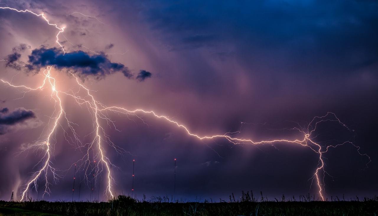
A powerful weather system is set to impact various parts of New Zealand over the coming days, bringing with it heavy rain, strong winds, and significant snowfall in some regions. This system is expected to move eastwards, affecting both the North and South Islands.
Heavy Rain and Flood Risks
Several areas are under an Orange Heavy Rain Warning, including the headwaters of the Canterbury lakes and rivers south of Arthur’s Pass, Mount Taranaki/Taranaki Maunga, and the ranges of the Westland District. Rainfall in these regions could reach up to 10 centimeters (4 inches), leading to potential flash floods and areal flooding, particularly in low-lying areas and urban centers with poor drainage systems. Communities near large bodies of water and downstream of reservoirs are especially at risk (MetService – Te Ratonga Tirorangi) (Crisis24).
Strong Winds
Strong winds are also a significant concern, with an Orange Strong Wind Warning in place for South Taranaki, Taihape, inland Whanganui, and Wellington. Winds could reach mean speeds of 90 km/h with frequent gusts exceeding 110 km/h, posing risks of power outages, toppled trees, and property damage. The MetService advises residents in these areas to secure loose items and stay indoors where possible (Crisis24).
Snowfall Warnings
In higher elevations, particularly in Central Otago and the MacKenzie Basin, a Yellow Heavy Snow Watch has been issued. Snowfall is expected to reach significant depths, making travel hazardous and potentially leading to road closures and avalanche risks. Mountain passes and roads such as the Desert Road (SH1), Lindis Pass (SH7 and 8), and Arthur’s Pass (SH73) are likely to be affected (Crisis24) (RNZ).
Regional Impacts and Safety Measures
North Island
In the North Island, heavy rain and strong winds are expected to disrupt daily life and travel. Areas such as the eastern ranges of Bay of Plenty, Gisborne, and the Tararua Range are under a Yellow Heavy Rain Watch. Coastal and inland regions should prepare for localized flooding and landslides, especially in areas with steep terrain (WeatherWatch.co.nz).
South Island
The South Island will see some of the most severe impacts, with heavy snow expected in Central Otago and the MacKenzie Basin. Residents and travelers in these areas are advised to carry emergency kits, including warm clothing and provisions, and to check for road condition updates regularly. Authorities may implement road closures, so it’s crucial to stay informed through local media and MetService updates (Crisis24) (RNZ).
Long-Term Outlook and Preparedness
This severe weather event underscores the importance of being prepared for natural hazards. The MetService continues to monitor the situation closely and will update warnings and watches as necessary. It’s essential for residents to heed these warnings and take appropriate actions to safeguard themselves, their families, and their properties.
Emergency Kits and Safety Plans
Ensure your emergency kit is stocked with essentials such as non-perishable food, water, medications, and a first-aid kit. If you live in an area prone to flooding, have a plan in place for evacuation and identify safe routes to higher ground. Stay connected with local authorities and emergency services through battery-powered radios and follow their advice during severe weather (MetService – Te Ratonga Tirorangi) (RNZ).
Community Support
Check on neighbors, particularly those who are elderly or vulnerable, to ensure they are prepared and have the necessary supplies. Community cooperation can significantly enhance safety and resilience during extreme weather events.
For continuous updates and detailed weather forecasts, visit the MetService website and stay tuned to local news channels and radio broadcasts. By staying informed and prepared, we can navigate these challenging weather conditions safely.